One engine. Three ways to use it.
Resight turns ordinary video into position, a live 3D map and one shared picture. Pick where it runs.
| Product | Runs on | Video in | What you get | Who uses it |
|---|---|---|---|---|
| Resight Lab | Laptop, unit computer or cloud | Drone, phone or body camera, live or recorded | Live 3D map, position of every device, change between passes, one shared map from many devices | Field command, intel and mapping teams |
| Resight Light | Android phone or tablet | The device camera or a connected drone feed | Position and a live 3D map at the edge, with no link | The operator in the field |
| Platform integration | Your drone, robot or command system | Your platform's camera | Resight inside your product, licensed per device | Drone, robot and C2 makers |
| AirTapAccessory | Plugs into DJI goggles | 1080p60 video and telemetry | A live stream (RTSP / UDP) into any system, no cloud | Teams flying DJI-based fleets |
Resight Lab
Feed video from one drone or many. Resight Lab builds the 3D map as they fly, shows where each device is, and merges every device into one map. Compare today's pass with the last one to see what changed. Runs on site with no cloud, or in the cloud when you want it.
Resight Light
On an Android device, the operator sees their position and the space around them in 3D, with no GPS and no link. When a link exists, their map joins the shared map in Resight Lab.
Platform integration
We do not build drones or robots. We add position and the shared 3D map to yours, from the camera it already has. A short integration project per platform, then a per-device license with annual support.
From the edge to HQ.
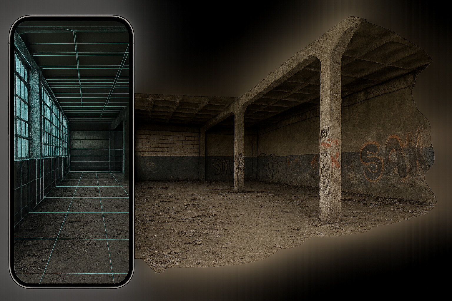
Edge
Each drone, robot or operator maps and localizes on the device.
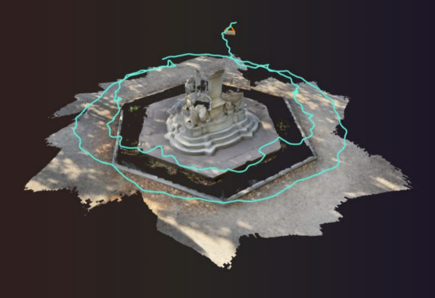
Field command
Resight Lab merges every device into one live map.
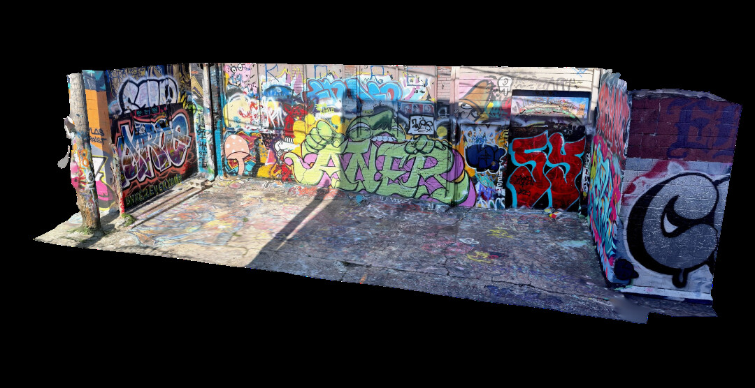
HQ
The map grows with every mission and is ready for planning and review.